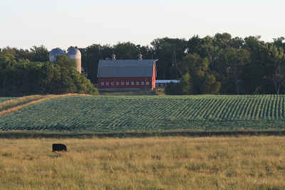
Bennett County, South Dakota
Bennett County Education, Geography, and History

Bennett County is a county located in the state of South Dakota. Based on the 2010 census, the population was 3,431. Its county seat is
Martin. The county was created in 1909 and organized in 1912. The northwestern section of the county lies within the Pine Ridge Indian
Reservation.
The North American continental pole of inaccessibility is in Bennett County, located 1650 km (1024 mi) from the nearest coastline, between
Allen and Kyle (Oglala Lakota County)
Etymology - Origin of Bennet County Name
Bennett is named for either John E. Bennett, a judge of the state supreme court, or local politician Granville C. Bennett.
Demographics:
County QuickFacts: CensusBureau Quick Facts
Bennet County History
Bennett County was created in 1909 and organized in 1912. Prior to 1912, Bennett County formed a part of the Pine Ridge Indian Reservation. Although the county was created in 1909, it remained attached to Fall River County for judicial purposes until 1911. The first election and county Commissioners meeting was held in Martin in April 27, 1912. A decision on the location of the county seat took some time and discussion. At the general election held in November 1912, Martin was chosen
Geography: Land and Water
As reported by the Census Bureau, the county has a total area of 1,191 square miles (3,084 km2), of which, 1,185 square miles (3,070 km2) of it is land and 5 square miles (14 km2) of it (0.45%) is water.
Bennett County, which is located in the southwestern part of the state
Neighboring Counties
Bordering counties are as follows:
- Jackson County, South Dakota - north
- Todd County, South Dakota - east
- Cherry County, Nebraska - south
- Shannon County, South Dakota - west
Education


