Maryland Counties
There are twenty-four counties and county-equivalents in Maryland. Though an independent city rather than a county, the City of Baltimore is considered the equal of a county. The last new county formation in Maryland occurred when Garrett County was formed in 1872 from portions of Allegany County.Cecil County, Maryland
Cecil County Education, Geography, and History
Cecil County is a county located in the state of Maryland. Based on the 2010 census, the population was 101,108. The county seat is Elkton. The county was named for Cecil Calvert, 2nd Baron Baltimore (1605-1675), the first Proprietary Governor of the Province (colony) of Maryland. It is part of the Philadelphia-Camden-Wilmington, PA-NJ-DE-MD Metropolitan Statistical Area
Etymology - Origin of Cecil County Name
Cecil is an Anglicized form of the first name of C?ilius Calvert, 2nd Baron Baltimore
Demographics:
County QuickFacts: CensusBureau Quick Facts
Cecil County History
The area now known as Cecil County was an important trading center long before the county's official organization in 1674 by proclamation of Lord Baltimore. It had previously been a northeastern part of a much larger Baltimore County, in the northeastern portion of the Province. This had included present-day Baltimore City and county, Carroll, eastern Frederick, and portions of Howard and Anne Arundel counties. At the time of its founding, Cecil County also included modern Kent County and the border on the Eastern Shore of the Chesapeake Bay went as far south as the Chester River, until its later formation in 1706.
Geography: Land and Water
As reported by the Census Bureau, the county has a total area of 418 square miles (1,080 km2), of which 346 square miles (900 km2) is
land and 72 square miles (190 km2) (17%) is water.
Cecil County is in the northeast corner of Maryland, bounded on the north and east by the Mason-Dixon line with Pennsylvania and Delaware. The
western border is defined by the lower reaches of the Susquehanna River and the northernmost coves, flats and tributaries of the Chesapeake
Bay. On the south, the county is bounded by the Sassafras River and Kent County, Maryland. The county is part of the Delmarva Peninsula as
well as Maryland's "Eastern Shore."
Topographically, Cecil County straddles the border between the rolling hills of the Piedmont Plateau north of Route 40 and the flatlands of
the Atlantic Coastal Plain to the south. The highest and most rugged hills are found in the northwestern and north-central parts of the
county, reaching 534 feet (163 m) just south of the Mason-Dixon line near Nottingham, Pennsylvania and just east of US Route 1. The lowest
elevation is sea level along the Chesapeake Bay.
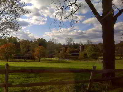
Cecil County is primarily rural, with denser development around the county seat of Elkton and along Route 40. The county is bisected from east
to west by the Chesapeake and Delaware Canal, which connects the Delaware River to the Chesapeake Bay by way of the Elk River. The canal
passes through the town of Chesapeake City, where a high-level bridge facilitates the passage of large ships beneath Maryland State Route 213.
Cecil County is also bisected east-to-west by Interstate 95, known as the John F. Kennedy Memorial Highway in Maryland. The highway provides a
major artery for traffic between the Baltimore-Washington area to the southwest and the Philadelphia and New York/New Jersey regions to the
northeast. For purposes of the 2010 census, the federal government has designated Cecil County as part of the Philadelphia-Camden-Wilmington
metropolitan area.
Neighboring Counties
Bordering counties are as follows:
- Northeast: Chester County, Pa.
- East: New Castle County, Del.
- South: Kent County
- Southwest: Chesapeake Bay
- West: Harford County
- Northwest: Lancaster County, Pa.
Education
There are 17 elementary schools, 6 middle schools,and 5 high schools, operated by Cecil County Public Schools.
e


