Montana Counties
There are fifty-six counties in Montana. Montana has two consolidated city-counties- Anaconda with Deer Lodge County and Butte with Silver Bow County. The portion of Yellowstone National Park that lies within Montana was not part of any county until 1997, when part of it was nominally added to Gallatin County, and the rest of it to Park County.Missoula County, Montana
Missoula County Education, Geography, and History
Missoula County is a county located in the State of Montana. Based on the 2010 census, the population was 109,426, making it the second-most
populous county in Montana. Its county seat and largest city is Missoula. The county was founded in 1860.
Missoula County comprises the Missoula, MT Metropolitan Statistical Area.
Etymology - Origin of Missoula County Name
Supposedly a contraction of the Flathead word, "im-i-sul-e-etiku", meaning "by or near the place of fear or ambush", a reference to Hell Gate Canyon, in which Flathead Native Americans were sometimes attacked by Blackfeet
Demographics:
County QuickFacts: CensusBureau Quick Facts
Missoula County History
Missoula County was created 2 February 1865 as an original county. County seat: Missoula
Geography: Land and Water
As reported by the Census Bureau, the county has a total area of 2,618 square miles (6,781 km2), of which, 2,598 square miles (6,729 km2) of it is land and 20 square miles (53 km2) of it (0.78%) is water.
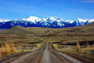
Five large valleys and two major rivers wind through this mountainous region.
Neighboring Counties
Bordering counties are as follows:
- Mineral County, Montana - west
- Sanders County, Montana - northwest
- Lake County, Montana - north
- Flathead County, Montana - northeast
- Powell County, Montana - east
- Granite County, Montana - southeast
- Ravalli County, Montana - south
- Idaho County, Idaho - southwest
- Clearwater County, Idaho - southwest
Education
School districts
Missoula County is home to 18 school districts (13 Elementary, 2 Secondary, and 3 Unified)
Colleges and universities
Missoula County is home to the University of Montana and the University of Montana College of Technology.


