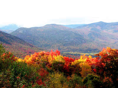
New Hampshire Counties
There are currently ten Counties in the state of New Hampshire. Five of the counties were created in 1769, when New Hampshire was still an English colony and not a state, during the first subdivision of the state into counties. The last counties created were Belknap County and Carroll County, in 1840.Sullivan County, New Hampshire
Sullivan County Education, Geography, and History
Sullivan County is a county located in the state of New Hampshire. Based on the 2010 census, the population was 43,742, making it the
second-least populous county in New Hampshire. Its county seat is Newport.
Sullivan County is included in the Claremont-Lebanon, NH-VT Micropolitan Statistical Area.
Etymology - Origin of Sullivan County Name
The county was named for John Sullivan (b. February 17, 1740, Somersworth, New Hampshire - d. January 23, 1795, Durham, New Hampshire) was an American general in the Revolutionary War and a delegate in the Continental Congress. Sullivan served as a major general in the Continental Army and as Governor (or "President") of New Hampshire. He is most famous for leading the Sullivan Expedition in 1779, a scorched earth campaign against the Iroquois towns that had taken up arms against the American revolutionaries
Demographics:
County QuickFacts: CensusBureau Quick Facts
Sullivan County History
Sullivan County was organized in September, 1827. It
was named for General John Sullivan, a Revolutionary War hero, New Hampshire
attorney general and judge. Charlestown's Fort played an important role during
the French and Indian Wars. The town of Cornish, first settled in 1765 was a
site where mast pines were cut for the King's ships. Sullivan county was the
birthplace of the American machine tool industry and is the site of several
historic mill communities.
Sullivan County is located in western New Hampshire and shares a thirty-six mile
stretch of the Connecticut River with our neighbor Vermont. It consists of 528
square miles and has population of 38,592. Eighty-Five percent of the landscape
is in forest land and twelve percent of the county is prime farm land. Many of
these 18th century farms are still in the same family. Primary industries
include manufacturing, retail, health and higher education.
There is one city and fourteen towns in Sullivan County. The population of the
city of Claremont is 14,050. A special feature in Claremont is their Opera
House, a completely restored 1800's theater. Acoustically it is considered "one
of the best facilities" in all of New England. The town of Newport also has an
opera house. Both Opera Houses bring forward a variety of local talent as well
as, cultural experiences from across the United States including dances,
concerts and plays. Another rather unique feature of the area is a Hang Gliding
Flight Park. Claremont is also home to New Hampshire Community Technical
College. A public, two year college offering career oriented education for
adults. It is also home to a branch of the University System of New Hampshire's
College for Life Long Learning (C.L.L). The Connecticut Valley Region of C.L.L.
delivers college programs to adults in the communities in which they live and
work , using the resources of the entire University System. Valley Regional
Hospital is also located in Claremont.
Throughout Sullivan County there are a variety of recreational opportunities to
enjoy including hiking, biking, snowmobiling, cross country and alpine skiing,
as well as boating and fishing. Mount Sunapee State Park includes a 200 acre
network of trails for skiing and hiking and sparkling lakes for swimming. Enjoy
the view from a chairlift ride to the top of the highest mountain in southern
New Hampshire. Enjoy the annual state arts and crafts show and other events at
Sunapee State Park.. Other sites unique to Sullivan County include: Old Fort #4,
a revolutionary stockade in Charlestown, the Cornish-Windsor covered bridge (the
longest of its kind in the US), and the Saint-Gaudens National Historic site,
the home and studio of a famous sculptor and location of summer concerts and art
exhibits.
As in the other nine counties, Sullivan County has three elected commissioners,
who are responsible for administering the 15+ million dollar county budget.
Local governments usually consist of a volunteer board of selectman with a paid
administrator. In addition, many towns have volunteer fire departments,
conservation commissions, planning and zoning boards. Public safety is ensured
with the cooperative efforts of local police, the county sheriff and State
Police.
Geography: Land and Water
As reported by the Census Bureau, the county has a total area of 552 square miles (1,430 km2), of which 537 sq mi (1,390 km2) is land and 15 square miles (39 km2) (2.63%) is water.
Neighboring Counties
Bordering counties are as follows:
- Grafton County (north)
- Merrimack County (east)
- Hillsborough County (southeast)
- Cheshire County (south)
- Windham County, Vermont (southwest)
- Windsor County, Vermont (west)
Education


