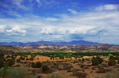
New Mexico Counties
There is thirty-three counties in the state of New Mexico. There were originally nine counties formed in 1852. Santa Ana County, New Mexico Territory, one of the nine original counties, was annexed in 1876 to Bernalillo County, New Mexico.Mora County, New Mexico
Mora County Education, Geography, and History
Mora County is a county located in the state of New Mexico. Based on the 2010 census, the population was 4,881. Its county seat is Mora.
Etymology - Origin of Mora County Name
Mora refers to several Spanish names in the area.
Demographics:
County QuickFacts: CensusBureau Quick Facts
Mora County History
Prior to Spanish conquest, the Mora area was Indian country. Although not an area of heavy Indian settlement by such tribes as the Pueblo
Indians, the Mora valley was much used by nomadic tribes: the Utes, Navajos and Apache.[citation needed]
The Mora Valley then became a travel-way for various Spanish explorers and others. It was not settled until the early part of the 19th
century. The history of the settlement of Mora dates to 1817 when a group of settlers petitioned for a priest.
The next significant event was the Mexican Land Grant through which on September 28, 1835 Governor Albino Perez, the governor of the New
Mexico Territory, gave land title for over 800,000 acres (3,200 km2) to some 25 families.
"Mora" is actually today three plazas and three villages; Mora, Cleveland (originally San Antonio), and Chacon. Holman (originally Agua Negra)
lies between Chacon and Cleveland.
Historical and genealogical records for Mora are difficult to obtain for a number of reasons. One is that US Army forces entered the area in
1848 and destroyed Mora while quashing Native American rebellion; most of the archives were lost. "Not until artillery was brought up (by the
United States Army) and Mora practically destroyed did the insurgents yield." A US Government Proclamation at the time (February 15, 1847)
wrote that the US Army " proceeded with a body of men and one canon to Moro and razed the towns (Upper and Lower Moro) to the ground."
Mora County was created 1 February 1860. Mora is the county seat. Mora refers to several Spanish names in the area. It is prime sportsman's territory offering clean air and clear skies with beautiful views.
Geography: Land and Water
As reported by the Census Bureau, the county has a total area of 1,934 square miles (5,010 km2), of which 1,931 square miles (5,000 km2) is land and 2.3 square miles (6.0 km2) (0.1%) is water. The highest point in the county is the summit of Truchas Peak at 13,102 ft
Neighboring Counties
Bordering counties are as follows:
- Colfax County - north
- Harding County - east
- San Miguel County - south
- Santa Fe County - west
- Rio Arriba County - west
- Taos County - northwest
Education


