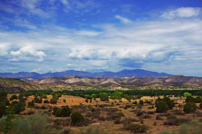
New Mexico Counties
There is thirty-three counties in the state of New Mexico. There were originally nine counties formed in 1852. Santa Ana County, New Mexico Territory, one of the nine original counties, was annexed in 1876 to Bernalillo County, New Mexico.Otero County, New Mexico
Otero County Education, Geography, and History
Otero County is a county located in the state of New Mexico. Based on the 2010 census, the population was 63,797. Its county seat is
Alamogordo. Its southern boundary is the Texas state line.
Otero County comprises the Alamogordo, NM Micropolitan Statistical Area
Etymology - Origin of Otero County Name
It was named for Miguel A. Otero who was the Territorial Representative to Congress 1856 to 1861.
Demographics:
County QuickFacts: CensusBureau Quick Facts
Otero County History
Otero County was created 30 January 1899. It was named for Miguel A. Otero who was the Territorial Representative to Congress 1856 to 1861. Alamogordo is the county seat. Alamo' is the center of missile testing , spy planes development, White Sands National Monument, and tourism. The Cloudcroft Apache Reservation is nearby. Otero County offers residents clear skies, clean air, varied surroundings from low plains to peaceful mountains.
Geography: Land and Water
As reported by the Census Bureau, the county has a total area of 6,628 square miles (17,170 km2), of which 6,613 square miles (17,130 km2) is land and 14 square miles (36 km2) (0.2%) is water. It is the third-largest county in New Mexico by area.
Neighboring Counties
Bordering counties are as follows:
- Doña Ana County - west
- Sierra County - northwest
- Lincoln County - north
- Chaves County - east
- Eddy County - east
- Culberson County, Texas - southeast
- Hudspeth County, Texas - south
- El Paso County, Texas - southwest
Education


