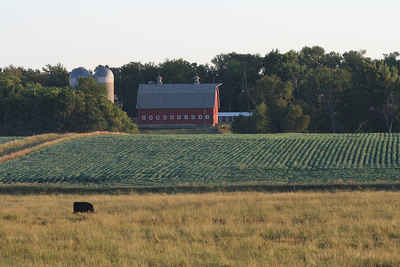
Charles Mix County, South Dakota
Charles Mix County Education, Geography, and History

Charles Mix County is a county located in the state of South Dakota. Based on the 2010 census, the population was 9,129. Its county seat is Lake Andes. The county was created in 1862 and organized in 1879. It was named after Charles Eli Mix, an official of the Bureau of Indian Affairs influential in signing a peace treaty with the local Lakota Indian tribes. The easternmost approximately 60% of the county comprises the Yankton Indian Reservation.
Etymology - Origin of Charles Mix County Name
Charles Mix is named after Charles Mix, a commissioner of Indian affairs.
Demographics:
County QuickFacts: CensusBureau Quick Facts
Charles Mix County History
A territory described as all the land from Sioux Point up the Missouri to Medicine Creek, then east to the Minnesota line and south to the starting point, except the Yankton Indian Reservation, was opened to settlement by proclamation of President Lincoln in 1861. The bill creating Charles Mix County outlined the boundaries. The county was surveyed into townships in 1867 and subdivided the next year. In 1874 President Grant issued an order withdrawing this county from public settlement. In 1879 the land was re-opened by order of President Hayes and efforts were begun to organize the county.
Geography: Land and Water
As reported by the Census Bureau, the county has a total area of 1,150 square miles (2,979 km2), of which,
1,098 square miles (2,843 km2) of it is land and 53 square miles (136 km2) of it (4.57%) is water. It is also noted
for being shaped like California.
Neighboring Counties
Bordering counties are as follows:
- Brule County, South Dakota - north
- Aurora County, South Dakota - northeast
- Douglas County, South Dakota - northeast
- Hutchinson County, South Dakota - east
- Bon Homme County, South Dakota - east
- Knox County, Nebraska - southeast
- Boyd County, Nebraska - southwest
- Gregory County, South Dakota - west
Education


