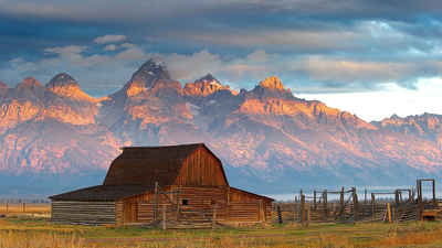
Wyoming Counties
There are twenty-three Counties in the state of Wyoming. There were originally five Counties in the Wyoming Territory: Laramie and Carter, established in 1867; Carbon and Albany established in 1868; and Uinta, an annexed portion of Utah and Idaho, extending from Montana (including Yellowstone Park) to the Wyoming-Utah boundary. On July 10, 1890, Wyoming was admitted to the Union with thirteen counties.Carbon County, Wyoming
Carbon County Education, Geography, and History

Carbon County is a county located in the state of Wyoming. Based on the 2010 census, the population was 15,885. Its county seat is Rawlins. It is north from the Colorado state line.
Etymology - Origin of Carbon County Name
Named for the vast coal beds in the county.
Demographics:
County QuickFacts: CensusBureau Quick Facts
Carbon County History
Established in 1868 as a county in the Dakota Territory, Carbon County has a rich history of cattle, sheep, mining, and railroads.
Prior to that, about 3,400 sq miles in the center of Carbon County were once part of the Republic of Texas (1835-1845) and part of the State of Texas until 1852 when the northern most part of that state was ceded to the Federal Government. This area is defined by the 42nd parallel on the north, and
straight lines south from there to the headwaters of the Arkansas river on the east and the headwaters of the Rio Grande on the west. The documents defining that area include the Adams-Onís Treaty of 1819, the 1824 Constitution of Mexico, and the 1845 "Joint Resolution for the Admission of the State
of Texas into the Union".
Geography
As reported by the Census Bureau, the county has a total area of 7,964 square miles (20,630 km2), of which 7,898 square miles
(20,460 km2) is land and 66 square miles (170 km2) (2.0%) is water.
It is the third-largest county in Wyoming by area.
Neighboring Counties
Bordering counties are as follows:
- Sweetwater County, Wyoming - west
- Fremont County, Wyoming - northwest
- Natrona County, Wyoming - north
- Converse County, Wyoming - northeast
- Albany County, Wyoming - east
- Jackson County, Colorado - southeast
- Routt County, Colorado - south
- Moffat County, Colorado - southwest
Education


